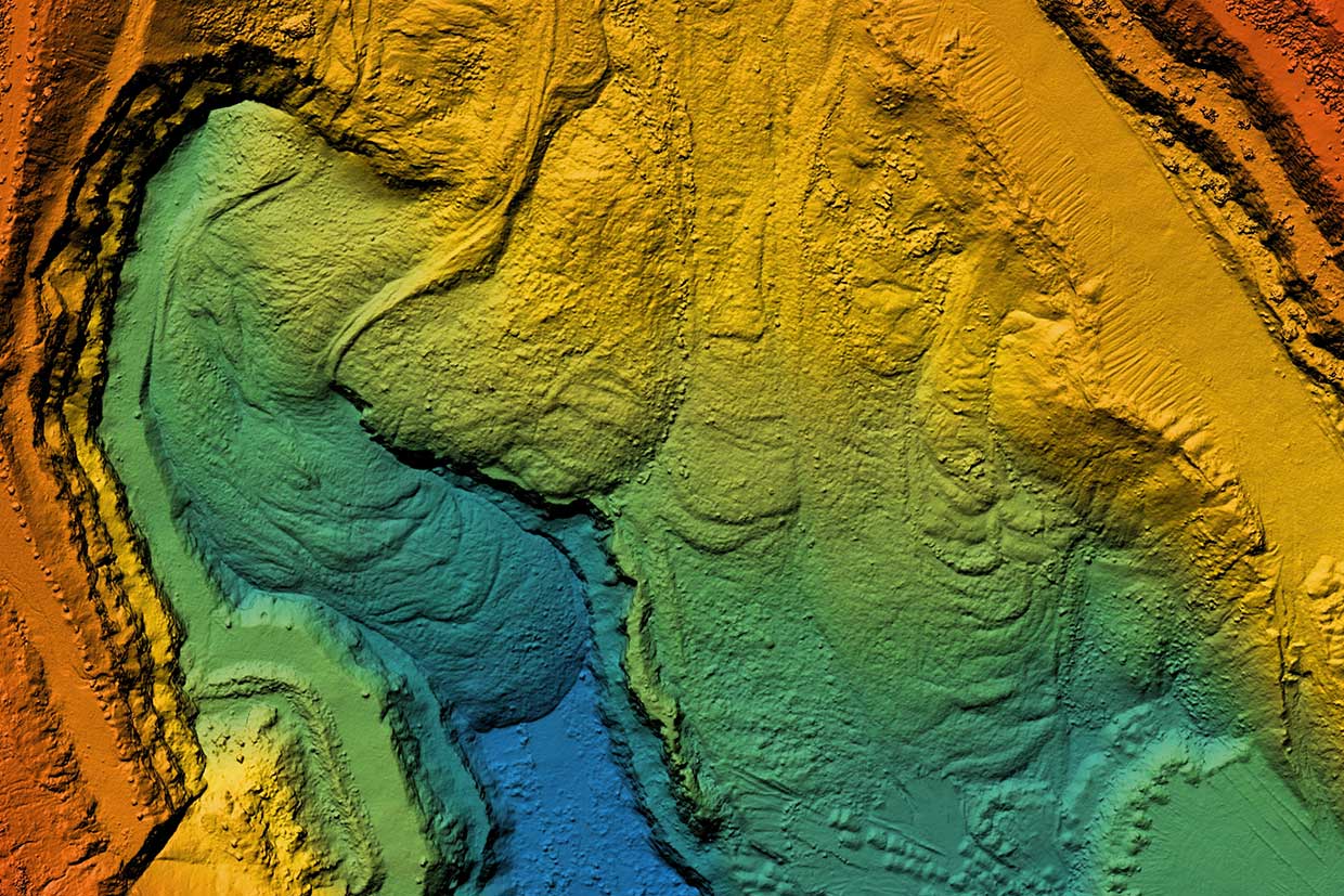
Topography

EnviroSolution can undertake a comprehensive Topography (Topo) survey gathering spatial data relating to the site and its natural and man-made features, providing clients with accurate and comprehensive data crucial for land development projects. The Topo usually is undertaken on a point by point basis (normally using GPS) and is based on the national Ordnance Survey grid and datum information. Topo points are able to be used for Ground Modelling and Visualisations as they are usually positioned in three dimensions. Our skilled and experienced surveyors use the very latest technology to deliver precise and quick surveys, enabling clients to make informed decisions about their projects, whilst ensuring that site time and costs are kept to a minimum. By choosing EnviroSolution, clients benefit from our commitment to excellence, reducing time and cost, and our attention to detail. Our multidisciplinary team ensures a holistic understanding of the land, allowing clients to make informed decisions about site development.
We use AutoCAD to produce detailed plans of the built and natural environment relative to land coordinates, an existing datum or an OS grid. We include information such as levels, contours, site features, GPS and cross-sections. As with all of our projects, we are adaptable to each client request and can deliver our completed drawing files in .pdf, .dwg and/or hard copy formats.
Our Services include:
- Contour Mapping
- 3D Modelling
- 3D Laser Scanning
- Boundary Surveys
- GPR Ground Penetrating Radar
- Level survey
- Road survey
- Volume survey
- Pipeline survey
- River survey
- Constraints Survey
Land & Buildings
- 3D Models
- 3D Laser Scanning
- 3D Revit Model
- Accurate Measured Viewpoints
- Boundary Surveys
- Measured Building Surveys
- Mobile Mapping
- Topographic Survey
- UAV (Drone) Surveys
Site Engineering
- 3D Ground Modelling and Volumetrics
- As Built Survey
- Deformation and Movement Monitoring
- Machine Control
- Setting Out for Construction
Underground Services
- PAS 128 Underground Utility Detection Survey
- Topographic Survey
To undertake topography services, EnviroSolution requires access to the site, relevant property and planning documents and correspondence, and any specific project requirements. Additionally, knowledge of the proposed land use and project goals is valuable for tailoring the survey to meet the client’s objectives. We are always happy to have a chat over the phone or via email if you do not have all of the above.


