National Parks Sewage Crisis: Designing SuDS that Protect Tourist Hotspots
Why parks are under pressure
Popular UK national parks are dealing with prolonged sewage discharges during peak seasons. Visitor surges strain ageing networks, and in many valleys combined sewers struggle during summer storms. This puts every new development—cafés, campsites, lodges, car parks—under a brighter planning spotlight. Local planning authorities want proof that projects will reduce runoff rates and improve water quality rather than add to the burden. For landowners, estates, and developers, the message is clear: nature‑sensitive drainage design needs to be evidenced, not just promised.
Evidence first: test, size and position SuDS
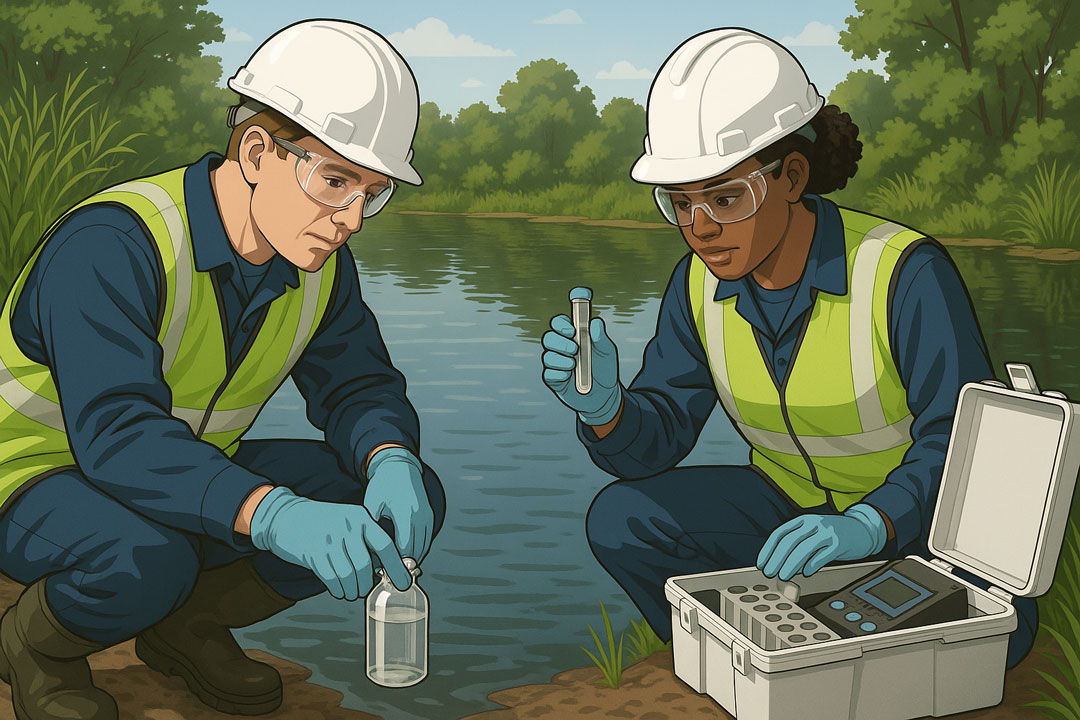
Design starts with ground truth. Field‑verified Infiltration Testing provides BRE 365 infiltration rates and groundwater observations, allowing you to confirm which plots suit soakaways, permeable paving, or infiltration basins—and which need attenuation and controlled discharge instead. In parallel, a scoped Phase 1 Desktop Study maps hydrology, flood context, legacy contamination and receptors (streams, springs, private supplies). Bringing those two strands together ensures SuDS are placed where they work hydraulically and won’t mobilise pollutants in made ground or old yard areas.
Make SuDS pull double duty for ecology
In protected landscapes, drainage must do more than store water. Basins can be shaped for extended detention to settle sediments; forebays and filter strips add treatment; marginal planting boosts biodiversity and resilience to drought. With measured infiltration rates, you can vary depths and side slopes to create micro‑habitats while maintaining capacity. Linking these choices back to your Phase 1 Desktop Study evidence shows officers and consultees that water quality and ecology were designed in from day one.
Design details planners look for
Expect requests for trial pit logs, photographs, groundwater levels and BRE 365 calculation sheets in your drainage strategy. Show exceedance routes that avoid footpaths and buildings, and include a clear maintenance schedule to protect long‑term performance. Where car parks are broken up or regraded, plan WAC Testing sampling for sub‑base and soils so clean and impacted materials are not mixed. If the site sits within historic mineral areas, a proportionate Coal Mining Risk Assessment can prevent late surprises for foundations and utilities.
Submission that stands up to scrutiny
EnviroSolution provides rapid, decision‑ready Infiltration Testing and concise Phase 1 Desktop Study reports tailored to sensitive catchments. We coordinate findings into a planning pack that withstands public scrutiny and committee questions—helping you protect treasured tourist hotspots while keeping projects viable.
Practical steps for estates and developers
Start by scheduling {INF} at concept stage so infiltration potential is known before you freeze the layout. Ask your drainage engineer to test multiple depths and locations to reflect the site’s variability. In parallel, commission a {P1} that draws from historic mapping, borehole records and regulator datasets. Use a risk register to decide where to place features and where to avoid excavation. For tourism‑led sites, include seasonal management notes—litter control, sediment checks after bank holidays, and vegetation maintenance ahead of peak months.
What EnviroSolution delivers
We provide trial pit logs, photographs, BRE 365 calculations, and clear recommendations on SuDS type and placement. Our {P1} combines hydrology and contamination pathways with simple phasing plans so contractors understand how to protect nearby streams and private supplies. Where redevelopment breaks up hardstanding, our technicians implement {WAC} plans that keep clean and impacted materials separate to reduce cost and carbon.
Outcome
The result is a planning‑ready drainage strategy that withstands scrutiny from case officers, consultees and the public—protecting the landscape that visitors come to enjoy.