


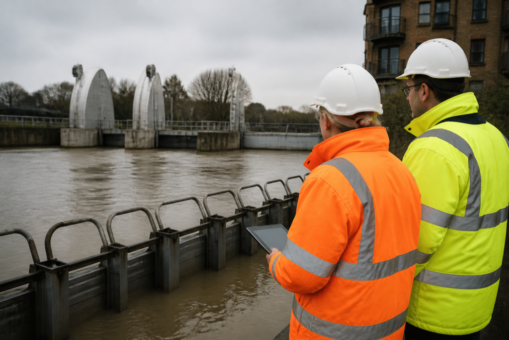
The government’s newly named Flood and Drought Resilience Taskforce is due to hold its first meeting on 14 October 2026, broadening the remit of the former flood-focused arrangement to consider drought alongside winter flood preparedness.
The change follows a year in which England experienced a wet winter, a prolonged hot and dry summer, and continuing drought impacts in some areas. It also comes as the Met Office identifies an increased likelihood of wetter, windier and more unsettled conditions during autumn and early winter, while stressing that seasonal outlooks cannot forecast the location, timing or severity of individual storms.
For environmental consultants, developers, asset owners and infrastructure operators, the practical significance is less about a new immediate compliance requirement and more about the direction of travel: flood risk, drainage, water availability and operational continuity are increasingly being considered as connected resilience issues rather than separate workstreams.
What has changed
The Flood and Drought Resilience Taskforce brings together more than 50 organisations, including the Environment Agency, Met Office, mayoral authorities, local government, fire and rescue services, water companies, insurers and farming representatives. Its stated role is to improve preparedness, share expertise and support longer-term resilience planning for both flood and drought.
The first meeting is expected to consider readiness for possible winter flooding and lessons from the ongoing drought. It will sit alongside, rather than replace, the National Drought Group, which remains responsible for operational drought coordination.
This is an administrative and strategic coordination change, not a new piece of planning or environmental law. Sky News reports that the relaunched taskforce has no additional powers. Organisations should therefore avoid treating the announcement as creating fresh standalone legal duties, new flood-consent routes or revised planning thresholds.
However, it may influence future policy development, investment priorities, guidance and the evidence expected in public-sector resilience discussions. That matters where projects depend on drainage capacity, water supply, access routes, flood defences or climate-sensitive infrastructure.
Who is most likely to be affected
The immediate relevance is greatest for organisations whose sites or services are exposed to both excessive and insufficient water. These include:
- housebuilders and promoters bringing forward sites with fluvial, surface-water, groundwater or sewer-flooding constraints;
- local authorities, highway bodies and utilities managing drainage networks, culverts, pumping stations, treatment assets and critical access routes;
- industrial, logistics and commercial operators whose business continuity depends on uninterrupted power, transport, water or wastewater services;
- water-intensive businesses and landowners reliant on abstraction, irrigation, private supplies or process-water availability; and
- owners of hospitals, schools, care settings, data facilities and other assets where flood disruption or water restrictions could have significant consequences.
Practical implications for property and infrastructure planning
The taskforce reinforces the value of testing projects against compound and sequential conditions. A site may face drought-related ground movement, reduced water availability or ecological stress in one season, followed by rapid runoff, constrained infiltration or overloaded drainage during a wet period. These interactions should be considered early, particularly where a scheme relies on infiltration drainage, attenuation storage, water reuse, landscaped SuDS or shallow groundwater assumptions.
For development proposals, existing planning policy and local validation requirements remain the starting point. Flood Risk Assessments, drainage strategies and sequential site layout decisions should still be proportionate to the proposal and supported by location-specific evidence. The announcement does not mean every site needs a new assessment. It does, though, strengthen the case for reviewing whether existing studies have properly addressed:
- surface-water exceedance routes and safe access during intense rainfall;
- the effect of dry or compacted soils on runoff and infiltration performance;
- maintenance responsibilities and whole-life performance of SuDS;
- resilience of electrical equipment, communications, access and emergency procedures;
- water-efficiency, storage and contingency arrangements where supply resilience is material; and
- interdependencies with off-site sewerage, highways, water supply and flood-defence assets.
Infrastructure owners may also wish to revisit assumptions embedded in asset-management and emergency plans. The Met Office advises that three-month outlooks are suitable for risk awareness and scenario planning, rather than committing resources for a particular event. In practice, this supports a tiered approach: use seasonal information to refresh scenarios and readiness discussions, then use shorter-range forecasts and formal warnings to make operational decisions.
Dates and policy context to watch
The first taskforce meeting on 14 October 2026 is the immediate milestone. There is no published timetable yet for recommendations, consultation or new technical guidance arising from its work.
The wider policy backdrop is more established. Government has committed at least £10.5 billion for flood and coastal erosion risk management between 2024 and 2036, while the Environmental Improvement Plan links flood resilience, drought adaptation, sustainable drainage and water-resource planning. These commitments may affect programme priorities over time, but they do not guarantee a defence scheme, drainage upgrade or water-resource intervention for an individual site.
What organisations should consider next
- Refresh risk registers: identify where flood, drought and water-service disruption could affect the same site, supply chain or critical asset.
- Check technical baselines: ensure flood modelling, drainage design, ground investigation and water-demand assumptions remain consistent with the proposed lifetime and operational use of the development.
- Review resilience beyond the site boundary: map dependencies on highways, substations, pumping stations, sewers, water mains and nearby watercourses.
- Test operational arrangements: confirm roles, warning triggers, temporary protection measures, alternative access, communications and recovery procedures before winter.
- Monitor rather than pre-empt policy change: retain clear evidence of current compliance, but watch for taskforce outputs, Environment Agency guidance, local authority strategies and water-company updates that may shape future expectations.
The key message is that the government is placing greater emphasis on the connection between too much water and too little. That does not alter planning law overnight, but it makes integrated resilience evidence more valuable for projects intended to operate safely and reliably over the long term.