


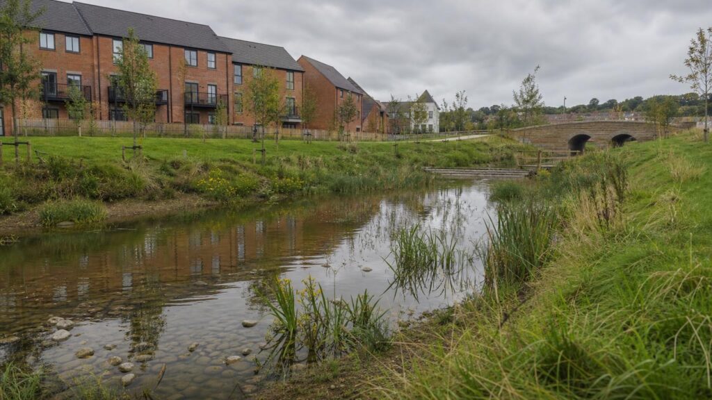
SuDS should be treated as an early design input on development in Sheffield, not a final drainage calculation. Sheffield topography makes surface-water routing especially important. Storage calculations alone are not enough: the site layout should also show where water will move during extreme events and how steep gradients, walls and highways influence that route.
What matters on a Sheffield site
- steep site levels and the direction of overland exceedance flow
- whether infiltration is suitable for the local ground conditions and proposed feature depth
- interaction with highways drainage and retaining structures
- how attenuation and flow controls avoid increasing risk downstream
The current drainage framework
For development in England, the 2025 National Standards for Sustainable Drainage Systems set out a runoff hierarchy and design expectations covering flood risk, water quality, amenity and biodiversity. Local planning and flood-risk requirements still need to be addressed for the individual site.
National Standards for SuDS provides the national framework; the project still needs a site-specific strategy and evidence appropriate to the proposed development.
Where infiltration testing fits
If infiltration is being relied upon, testing should be located and designed around the proposed drainage features rather than used as a generic site-wide assumption. Where previous land use or made ground could affect water quality, review the ground-risk information alongside the drainage proposal.
What to send us
Send the site boundary, proposed layout, levels or topographical survey where available, drainage concept, planning or flood-risk comments, and any previous ground investigation. We can then identify whether infiltration testing, drainage support or linked environmental work is needed.
View SuDS, drainage and flood support · View infiltration testing · Ask about a Sheffield project